Colorado’s winters bring some of the most dramatic snowstorms in the continental U.S., influenced by mountain terrain, shifting air masses, and moisture flows. Residents and travelers alike watch forecasts closely because single storms can dump a foot or more of snow and shut down travel corridors.
In this article you will learn how forecasters predict snow storms in Colorado, what metrics matter most, historical benchmarks, current outlooks, and practical preparation guidelines.
Colorado Snow Storm Forecast: Key Concepts
Forecasting a snowstorm in Colorado hinges on several core variables: moisture source, air temperature profiles, terrain lift, and storm track. A Pacific or Gulf moisture plume hitting the Rockies can surge precipitation. If cold air precedes or follows the event, that precipitation falls as snow rather than rain or mixed forms. Mountain slopes force uplift, enhancing snowfall totals. Minor shifts in storm track—just tens of miles—can dramatically alter where heavy snow lands.
Forecasters use probabilistic snowfall ranges: a “9 in 10 chance lower bound” means there’s 90 % confidence at least that much snow will fall, while a “1 in 10 chance high end” suggests rare extreme totals. This method accounts for uncertainty in storm behavior.
Historic Snow Patterns & Benchmarks
Understanding what is “normal” helps in interpreting forecasts. For example, Denver’s long-term average seasonal snowfall is about 57.1 inches. Some seasons exceeded 100 inches; others dropped under 25 inches.
In Colorado Springs, the highest historical seasonal total stands at 89.4 inches. The lowest was 7.3 inches. The mean date for first measurable snowfall in Colorado Springs is October 24, though measurable snow has arrived as early as September 3 in record years. The last measurable snowfall on average occurs April 24, though rare events as late as June 10 have been recorded.
Record single-day snowfall in Colorado is eye-opening: 75.8 inches fell over 24 hours in April 1921 at Silver Lake, setting the national record. Boulder County holds a U.S. record for most snow in a day—76 inches—in a major event.
Recent Seasons & Trends
The 2024–2025 winter in Colorado Springs saw 43.3 inches of snow, about 6.9 inches above normal. In Alamosa, totals sat around 20.3 inches, slightly above average. In the ski resorts, recent forecasts suggest above-average totals: Arapahoe Basin 349″ (113 % of norm), Crested Butte 350″ (138 % of norm), Vail 298″ (85 %) and others.
Yet long-range forecasts differ: NOAA predicts central and northern Colorado will see average snowfall, even as southern parts may hover below average. The Old Farmer’s Almanac expects below-normal precipitation and near-to-below average snowfall in many areas. The Farmers’ Almanac leans colder with snowier conditions, highlighting mid-November, mid and late January, and late February as peak snow windows.
A key concern: by late winter 2025, the statewide snowpack dipped to ~92 % of the 30-year average, with southern Colorado especially low (~64 %) and northern basins near or above 100 %.
Forecasting Methods & Models
Forecasters rely on dynamical models (e.g. NAM, GFS, ECMWF) plus statistical and satellite data. They run ensemble forecasts to see the range of possible outcomes. Probabilistic snowfall products help represent uncertainties. National Weather Service offices like BOU (Denver/Boulder) publish expected snowfall ranges with lower and upper bounds.
They also use snowpack and snow depth models for longer term impacts, especially in watersheds. Seasonal climate outlooks from CPC (Climate Prediction Center) provide temperature and precipitation forecasts weeks to months out.
Storm Examples & Recent Events
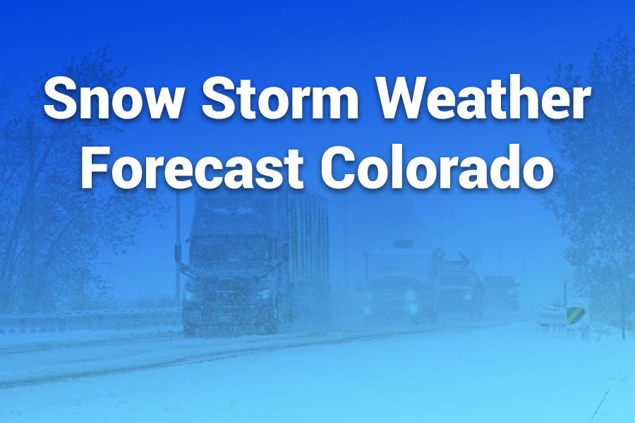
A major snowstorm in March 2024 dumped over 4 feet of snow in northern Colorado, leaving thousands without power and forcing interstate closures. Some mountain towns saw 2–4 feet, while Denver got 10 inches. Intense rates—up to 3 inches per hour—caused dangerous travel conditions.
Another example: the January 13–16, 2024 winter storm delivered up to 49.5 inches at Green Mountain Reservoir, Colorado, and gusts of 118 mph near Copper Mountain.
Such storms underline unpredictability: slight shifts in storm tracks or atmospheric surges can radically amplify totals in specific zones.
2025–2026 Outlook & What to Watch
The coming winter promises mixed signals. NOAA and models point to average snowfall in central and northern Colorado, while southern zones may fall short. Almanac forecasts remain cautious, expecting below-normal precipitation but leaving room for heavier storms early or late in the season.
Key windows to monitor: mid-November, mid & late January, and late February—the periods most likely to see intense snow bursts according to almanac guidance. Also, warming trends and shifts in moisture delivery (Pacific or Gulf flow) will influence storm strength.
Hazards & Impact Zones
Snowstorms in Colorado bring a range of hazards:
• Avalanche risk: Steep slopes in backcountry zones often exceed safe thresholds after heavy dump events. In recent months, multiple fatalities occurred in Colorado’s avalanche terrain.
• Travel disruptions: Major corridors like I-70 or I-25 shut down during extreme events. Roads become slick, whiteout, or impassable.
• Power outages: Wet, heavy snow can topple trees and knock down lines. The March 2024 event left tens of thousands without power.
• Urban flooding / runoff: If warming or rain mixes in, melting can trigger runoff or localized flooding.
• Delayed spring melt / water supply effects: Snowpack deficits may influence water availability and drought risk come summer.
How the Forecast Evolves in Real Time
Forecasts refine as a storm approaches:
- 10+ days out: Seasonal analogs and upper-level patterns hint at risk zones.
- 5–7 days: Model consensus begins. Meteorologists issue preliminary ranges and storm tracks.
- 3–4 days: Discrepancies begin to narrow. Probabilistic snowfall guidance appears.
- 1–2 days: Final adjustments based on real observations, radar, moisture profiles. Watches and warnings go live.
- Storm in progress: Updates adjust for observed accumulation rates, mesoscale banding, and localized enhancements.
What Residents & Travelers Should Do
• Stay alert to forecasts and warnings. Use NWS offices and official local sources.
• Have winter gear ready: shovels, de-icer, proper tires, emergency kits.
• Avoid nonessential travel during warnings or heavy snow rates.
• Monitor avalanche zones if venturing into mountains. Respect local avalanche forecasts.
• Prepare for power loss: stock flashlights, food, battery power.
• Watch spring melt timing, especially if relying on snowpack for water use.
Conclusion
Colorado’s snowstorms carry drama and risk. Forecasts combine atmospheric modeling, statistics, and terrain factors to anticipate where snow will fall and how much. Historical records teach us the extremes: from dramatic multi-foot dumps to meek flurries.
The 2025–2026 winter outlook presents moderate signals—neither strongly wet nor dry—so surprise storm events remain very possible. By understanding forecast logic and preparing in advance, residents and travelers can reduce risk and take full advantage of seasonal snow.

