A swirl of chatter suggests winter weather could arrive late week, but the latest guidance paints a different picture. Forecast models and official outlooks keep North Texas warm and dry through Friday, with daytime highs near or above 88–92°F and clear, mild nights in the 60s. That’s not snow weather.
Still, rumors spread fast when the calendar tilts toward winter. In this article, you’ll get a precise late-week forecast, why snow remains unlikely, what would have to change to produce snow, and smart preparedness steps for when true winter threats do emerge.
What the latest forecast actually says for Thursday into Friday
The most current point-and-click forecast for Fort Worth shows sunshine Thursday with highs in the upper 80s, a clear Thursday night around the low-to-mid 60s, and a sunny Friday near 89°F. That profile is classic early-fall warmth, not a setup for wintry precipitation. Broadly across the Metroplex, 10-day outlooks echo the same:
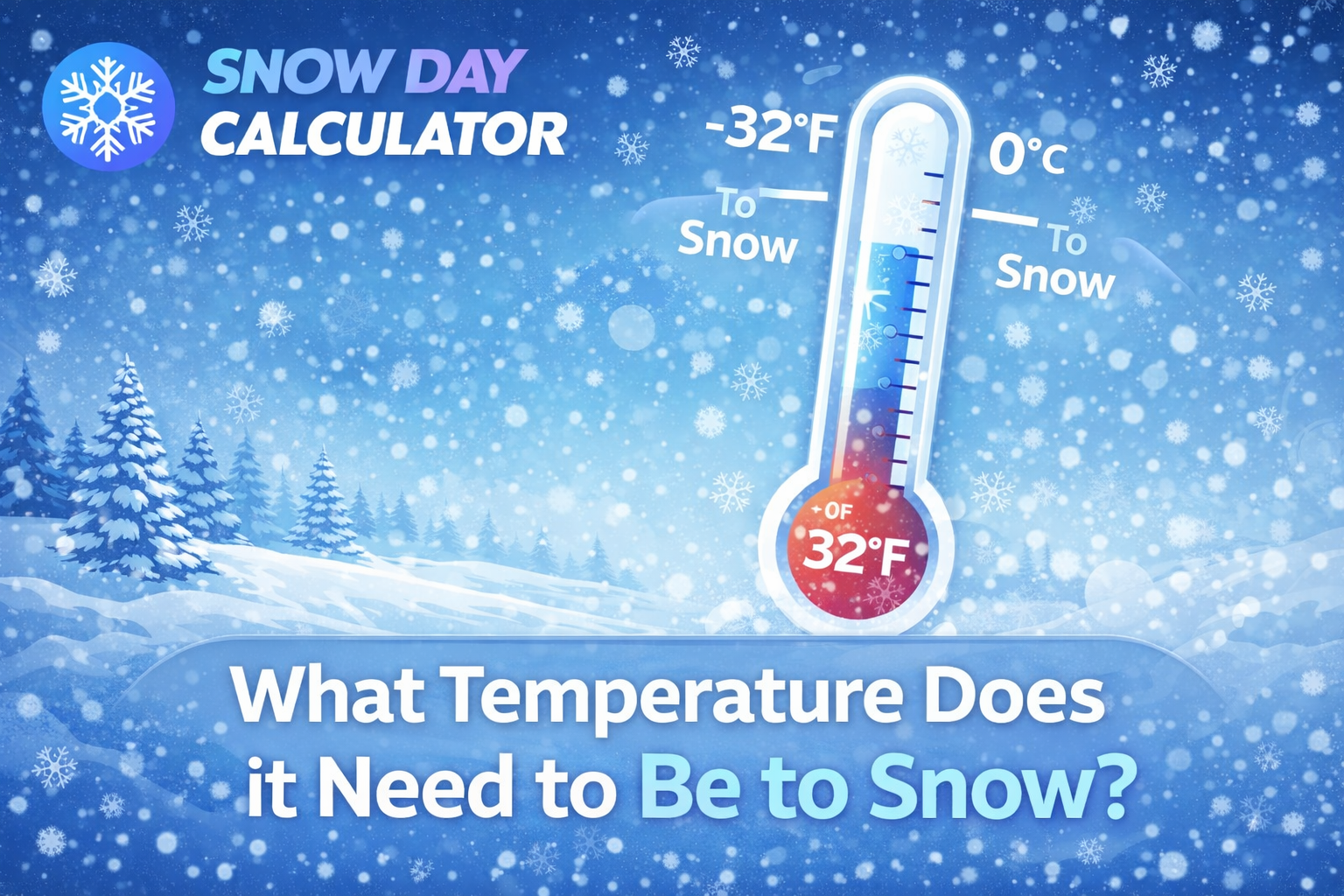
Thursday near 92°F and Friday around 90°F, with negligible rain chances and light southeasterly breezes. Snow requires surface temperatures near or below freezing and a deep layer of subfreezing air aloft; we will have neither.
How the snow talk started—and why it doesn’t hold up this week
When a cold front shows up on long-range maps, enthusiasm spikes. A northern push can bring cooler air to the Panhandle and West Texas, and social posts sometimes extrapolate that chill into “DFW snow.” But the responsible way to read the pattern is to ask: Will true Arctic air reach the I-35 corridor in time? Do we have a moisture source aligned with subfreezing thickness values? This week’s answer is no.
A front drops temperatures in the High Plains first, and guidance suggests North Texas stays several categories warmer into and through Friday. Even local media and station forecasts that watch for pattern flips continue to emphasize a warm, dry stretch with only distant, modest rain chances beyond Friday.
Recent stats that matter for a North Texas late-week snow chance
Daytime highs: 88–92°F Thursday and Friday; nighttime lows: low-to-mid 60s. Relative humidity: modest, with dew points not supportive of wintry mix. Wind: light SE/ESE flow—not a classic cold-advection signal.
These numbers alone rule out accumulating snow. In addition, the National Weather Service’s winter probabilities page is not flagging a snow event for North Texas in the Thursday–Friday window. That page highlights probabilistic snowfall only when confidence exists; it is quiet for this period.
North Texas vs. the Panhandles: why Amarillo can snow when DFW cannot
It’s tempting to project Panhandle snow talk onto Dallas-Fort Worth, but the elevation and climatology diverge. Amarillo sits around 3,700 feet—more than two thousand feet higher than Oklahoma City—and benefits from frequent intrusions of cold, dense air that pool along the High Plains. In many cool-season events, Amarillo can see accumulating snow while DFW remains cold rain or even mild and dry. That’s by design of geography and elevation.
Amarillo averages close to 18 inches of snow a year; DFW typically averages only a few inches in the snowiest winters, and many winters pass with little to none. The Panhandle can see first snows as early as late September; North Texas, when it does snow, tends to wait until much later in the season and under more amplified patterns.
What would have to change for snow to be possible this week
Two ingredients would need dramatic shifts. First, we’d need a strong, southward-plunging Arctic air mass to replace the warm boundary layer over North Texas. Second, we’d need a synoptic-scale wave to track along or south of the Red River, providing lift, moisture, and a deep column of subfreezing temperatures.
Neither is forecast. Thickness values and 850-mb temperatures remain far too warm Thursday into Friday. The best that could happen under an aggressive surprise front would be a modest cooldown to near-normal October highs and maybe a stray shower later in the weekend—still far from a snow profile.
A pro’s checklist for verifying winter headlines
With three decades in this beat, I use a simple filter whenever “snow” pops up in North Texas:
- Check the official point-and-click from the National Weather Service for your city. If the high is above 40°F with sun, the snow rumor fails at step one.
- Cross-check a reputable 10-day outlook. If Thursday and Friday show highs in the upper 80s to low 90s with near-zero precipitation, it’s not a winter event.
- Look at the NWS winter probabilities page. If no shaded areas overlap North Texas for your timeframe, confidence in snow is low to nil. (National Weather Service)
- Compare North Texas to the Panhandles. If a front is marginal and elevation-driven snow shows up in Amarillo, it does not automatically translate to DFW impacts.
Why October snow around DFW is rare
Climatology matters. October in DFW usually delivers warm afternoons and mild nights; the first real blue norther often waits until late October or November. Even when a mid-October front hits, dew points and soil temperatures tend to remain too high, and the cold layer aloft too shallow, for snow crystals to survive to the surface. Historical outliers have occurred in Texas, but those rare cases align with unusually strong Arctic surges plus vigorous southern-stream disturbances—conditions not present this Thursday or Friday. The sensible forecast sticks with warmth and sun.
How to prepare now—so you’re ready when winter really does arrive
Preparation is not wasted just because the rumor is wrong this week. Use this window to build your winter playbook:
Insulate your home’s weak points. Check weatherstripping, attic insulation, and exterior spigots. A few dollars of prevention beats emergency repairs when a hard freeze arrives.
Audit your vehicle. Top off washer fluid, inspect tires, and stash an ice scraper and small emergency kit. North Texas roads become slick fast when bridges ice.
Set up reliable alerts. Add wireless emergency alerts and configure a reputable weather app for your exact location. Watch advisory, watch, warning language closely; each implies a different lead time and severity.
Protect vulnerable pipes and pets. When a hard freeze looks likely, drip faucets on exterior walls, open cabinet doors to warm pipes, and bring pets indoors.
Map your work-from-home plan. If another significant winter storm approaches, heavy icing—not snowfall alone—often drives power interruptions and travel snarls. Prepare a charging routine for batteries and consider simple backups like power banks.
Coordinate with schools and job sites. Many closures and delayed starts hinge on bridge icing and refreezing after sunset. Set expectations now so you don’t scramble on the actual day.
Travel and commuting: smart calls for late week
For Thursday and Friday, commuting remains straightforward: expect sun, warm pavement, and typical traffic patterns. Hydrate, because temperatures near 90°F still stress outdoor workers. If you’re road-tripping toward the Panhandle late week, you may catch cooler air on the backside of a front, but current guidance keeps any wintry travel hazards confined well north and at higher elevations.
Always review the latest forecast before you go; in genuine winter events, bridges and overpasses freeze first and demand slower speeds and longer following distances.
When could snow trends become more credible this season?
As we move deeper into late October and November, front strength and storm tracks matter more. A legitimate North Texas snow signal typically features: a strong Arctic high building south through the Plains, a southern-stream shortwave ejecting from the Southwest, and a surface low tracking along the Gulf Coast or Red River that wraps cold air and moisture together.
Ensemble suites begin hinting at these alignments several days ahead, and the NWS winter page lights up with probabilistic guidance once confidence grows. Until then, resist the urge to promote distant “model snow maps” without context—they spike clicks but mislead readers.
Climatology perspective: snowier Panhandles vs. leaner Metroplex
Long-term data underscores the contrast. Amarillo’s average annual snowfall sits near 18 inches, with some seasons surpassing 40–50 inches. Meanwhile, many DFW winters log only conversational dustings or brief wintry mixes.
The disparity stems from elevation, latitude, and the propensity for cold air to anchor on the High Plains. For North Texans, headline-grabbing winter events usually involve ice or sleet first, with snow as a late-phase transition—exactly why careful forecast wording matters in this region.
Bottom line for Thursday into Friday
Despite the buzz, nothing in the verified data supports snow in North Texas this Thursday into Friday. Expect sunshine, warm afternoons around 88–92°F, and tranquil nights in the 60s. Keep your winter checklist handy, but don’t expect flakes this week.
As we approach late October, a pattern change may eventually bring cooler, wetter spells; when that happens, we’ll evaluate snow odds with the same disciplined tests used here. Until then, plan for a warm, quiet finish to the workweek.