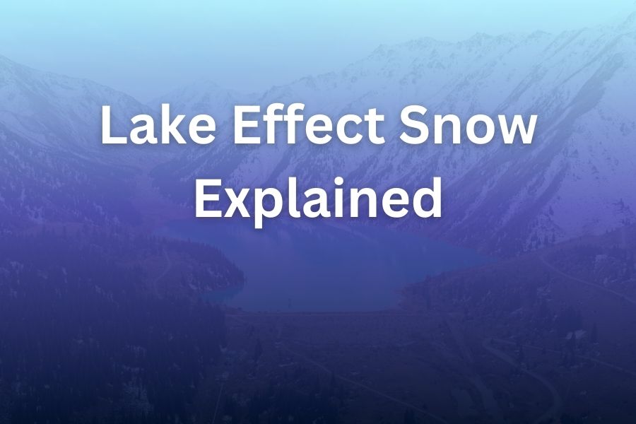
Lake effect snow is one of nature’s most fascinating and unpredictable weather patterns. It occurs when cold air passes over a large body of warmer water, picking up moisture that later turns into snow as the air cools.
This phenomenon can produce heavy snowfall, often impacting areas downwind of lakes, particularly in regions such as the Great Lakes in the United States. If you’ve ever lived near one of these lakes during winter, you might have experienced this intense snowfall firsthand.
In this article, you’ll learn what lake effect snow is, how it forms, where it occurs, and how it impacts the regions affected by it.
What Is Lake Effect Snow?
Lake effect snow is a weather pattern that happens when cold, dry air moves over a warmer lake surface. The difference in temperature between the cold air and the warmer water causes the air to absorb moisture. As the air continues to move inland, it eventually cools and the moisture it picked up condenses into snowflakes. This can result in localized, intense snowfalls, which can sometimes lead to heavy snow accumulation in specific areas.
Unlike regular snowstorms, which can affect wide regions, lake effect snow is typically more focused, affecting narrow bands of land downwind of large lakes. These snow bands can sometimes be so intense that they result in “snow belts” where snowfall is much heavier compared to other nearby regions.
How Does Lake Effect Snow Form?
The process begins when cold, dry air moves over a relatively warmer body of water, such as one of the Great Lakes. As the cold air flows across the lake, it picks up moisture from the water. The warmer water causes the air to heat up and rise, making it more unstable. As the air rises, it cools and the moisture in the air condenses, forming clouds.
These clouds then release their moisture in the form of snow when the air cools to the point where the moisture can no longer remain in vapor form. This snow is then carried by prevailing winds toward the land, typically affecting areas in the “snowbelt,” which lies downwind of the lake. The resulting snowfall can vary in intensity depending on several factors, including the temperature difference between the lake water and the air, the wind direction, and the size of the lake.
Why Does Lake Effect Snow Happen?
Lake effect snow is all about temperature differences. The water in large lakes like the Great Lakes retains heat longer than the land around it, so when cold air passes over these lakes in winter, the moisture in the warmer water evaporates. As the cold air picks up this moisture, the air rises, and upon cooling, the moisture condenses, falling as snow.
This process is particularly pronounced when the temperature of the air is significantly colder than the lake water. In general, the colder the air and the warmer the water, the heavier the snow can become. In fact, lake effect snow can sometimes result in intense, localized snowstorms that produce several inches of snow in a short amount of time.
Where Does Lake Effect Snow Occur?
Lake effect snow is most common in regions located near large lakes, particularly the Great Lakes in North America. These lakes provide the ideal conditions for lake effect snow due to their size and relatively warm water compared to the cold air that moves over them in the winter. Some of the most notable places that experience lake effect snow are:
- Buffalo, New York: Located on the eastern shore of Lake Erie, Buffalo often experiences heavy lake effect snow during the winter months, with some areas receiving several feet of snow in just a few days.
- Cleveland, Ohio: Situated on the southern shore of Lake Erie, Cleveland also experiences significant snowfall due to lake effect snow, particularly when cold winds come from the northwest.
- Chicago, Illinois: While not directly downwind of the lakes, Chicago can still experience lake effect snow from Lake Michigan, particularly when conditions are just right.
- Snowbelt Areas: The “snowbelt” is a region that includes parts of the Midwest and Northeast U.S., extending from New York and Pennsylvania to Michigan, Ohio, and beyond. This area often experiences lake effect snow from the Great Lakes.
Lake Effect Snow and Its Impact on Local Weather
Lake effect snow can have a significant impact on local weather conditions. While some areas may only receive light snow, others can experience heavy, persistent snowstorms. These storms can be so intense that they cause hazardous driving conditions, school closures, and even power outages.
Because lake effect snow is so localized, it often creates sharp contrasts in weather within short distances. For example, one side of a city might see clear skies and little snow, while a few miles down the road, snowflakes are falling heavily. This phenomenon can make forecasting tricky, as weather patterns can change abruptly over short distances.
The Role of Wind in Lake Effect Snow
Wind plays a crucial role in lake effect snow. The prevailing wind direction determines where the snow will fall. In regions like the Great Lakes, the snow typically falls downwind of the lake. This means that areas to the east or southeast of a lake are more likely to experience lake effect snow.
The intensity of the snowstorm also depends on wind speed. When winds are strong, they can push more moisture from the lake, leading to heavier snowfalls. On the other hand, weak winds may result in lighter snow or even no snow at all.
How to Prepare for Lake Effect Snow
If you live in a region prone to lake effect snow, it’s important to prepare for the conditions it brings. Here are some steps to take:
- Keep an Eye on Weather Forecasts: Monitoring local weather forecasts is crucial during the winter months, especially if you live near one of the Great Lakes. This will help you anticipate when lake effect snow is likely to hit your area.
- Drive Carefully: Lake effect snow can lead to slick roads, especially in localized areas. Always drive cautiously during snowstorms and allow for extra time to reach your destination.
- Stock Up on Supplies: Snowstorms can disrupt transportation and power services. It’s a good idea to have emergency supplies on hand, including food, water, flashlights, and blankets.
Can Lake Effect Snow Be Predicted?
Forecasting lake effect snow can be challenging due to its localized nature. Meteorologists rely on various tools, including radar and satellite imagery, to predict when and where lake effect snow will occur. However, because this snow depends on a combination of factors—such as air temperature, lake temperature, and wind direction—predictions are not always 100% accurate.
That said, advancements in meteorological technology have made it easier for weather forecasters to predict lake effect snow more accurately, allowing people in affected areas to prepare ahead of time.
Conclusion
Lake effect snow is a unique weather phenomenon that occurs when cold, dry air moves over a warmer lake, picking up moisture and causing heavy snow to fall downwind.
While it can bring beautiful winter scenes, it also presents challenges, particularly in regions near large lakes like the Great Lakes. Understanding how lake effect snow forms, where it occurs, and how to prepare for it can help you navigate the winter months with ease.
FAQ’s
- What causes lake effect snow?
Lake effect snow is caused by cold air moving over warmer lake water, picking up moisture and releasing it as snow when the air cools. - How does wind affect lake effect snow?
Wind direction and speed determine where lake effect snow will fall. Strong winds push more moisture from the lake, leading to heavier snow. - Where does lake effect snow occur?
Lake effect snow is most common near large lakes like the Great Lakes, especially in areas like Buffalo, New York, and Cleveland, Ohio. - Can lake effect snow be predicted?
While predicting lake effect snow is challenging due to its localized nature, advances in weather forecasting technology have improved predictions. - How much snow can lake effect snow produce?
Lake effect snow can produce significant snowfalls, with some areas receiving several feet of snow in just a few days. - What is the “snowbelt”?
The snowbelt is a region downwind of the Great Lakes where lake effect snow is most common, including parts of New York, Michigan, and Ohio. - How can I prepare for lake effect snow?
Prepare by monitoring weather forecasts, driving carefully, and stocking up on supplies in case of power outages or travel disruptions.